
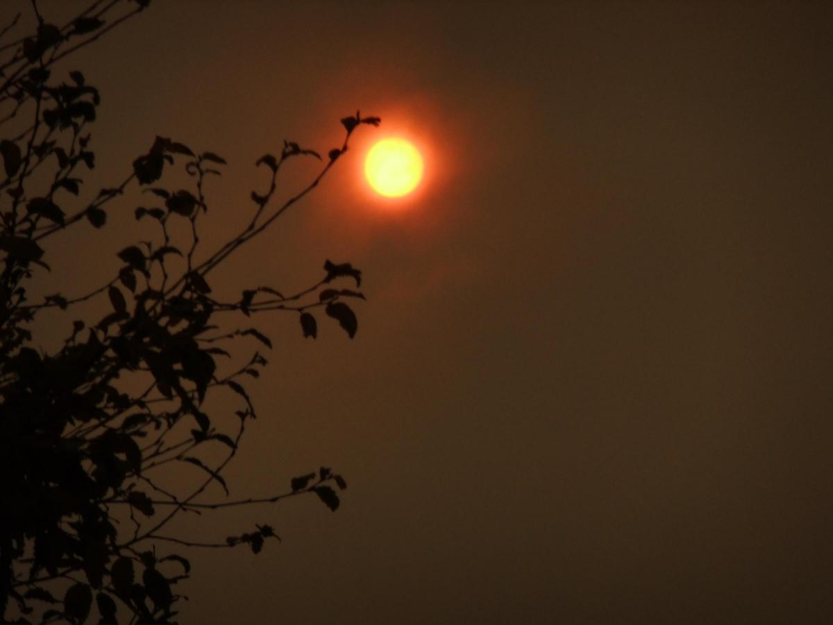
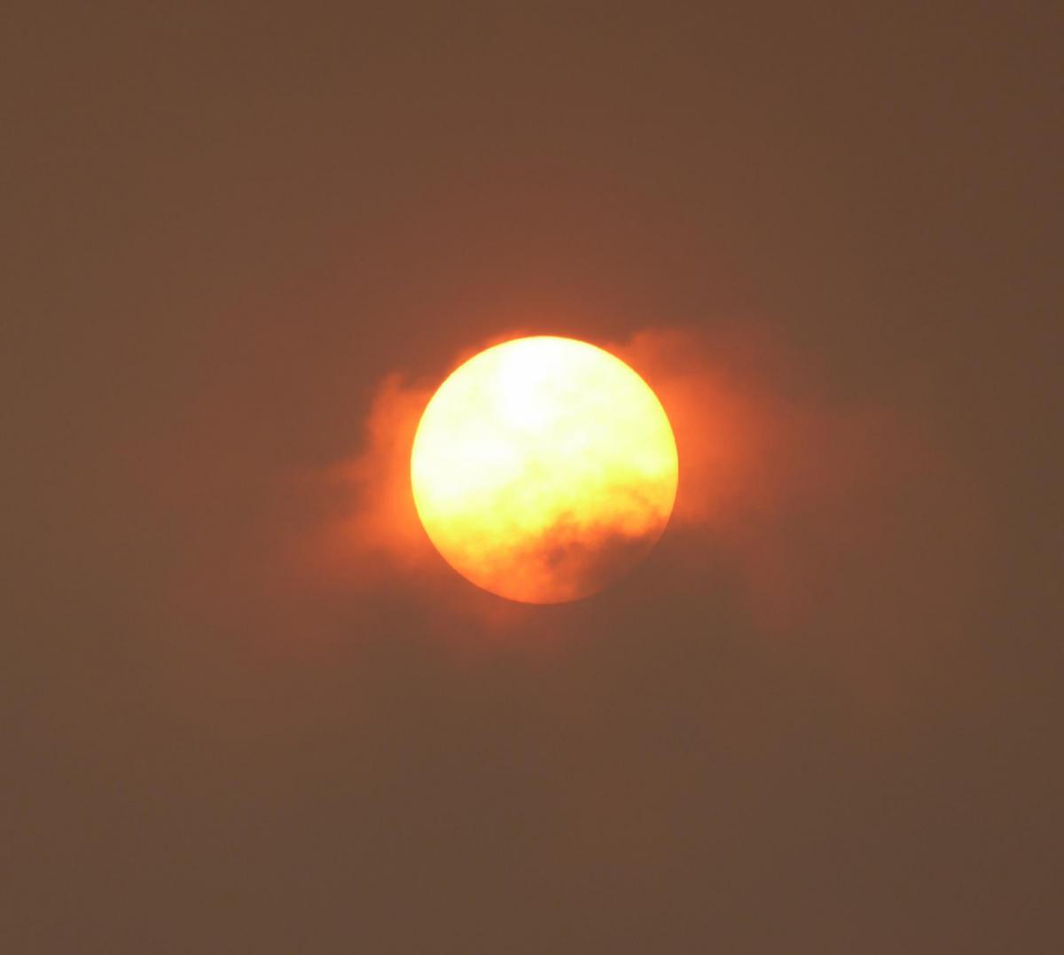

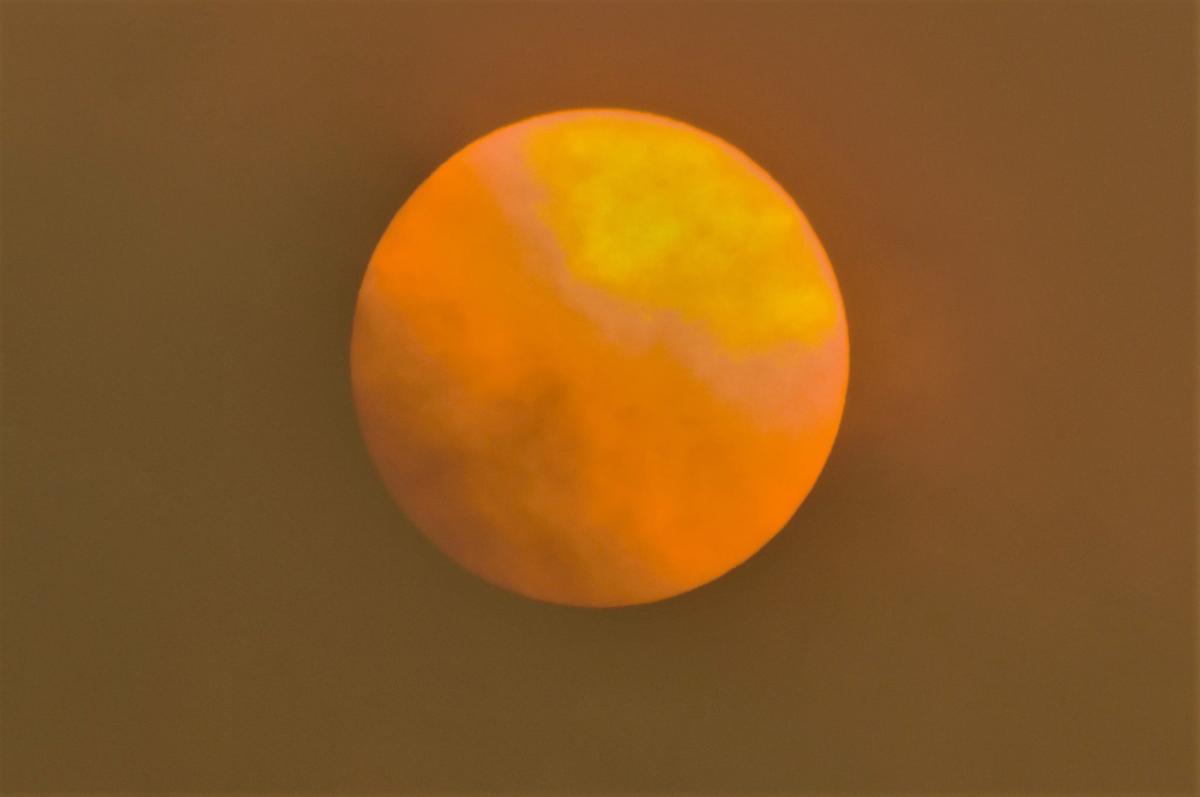
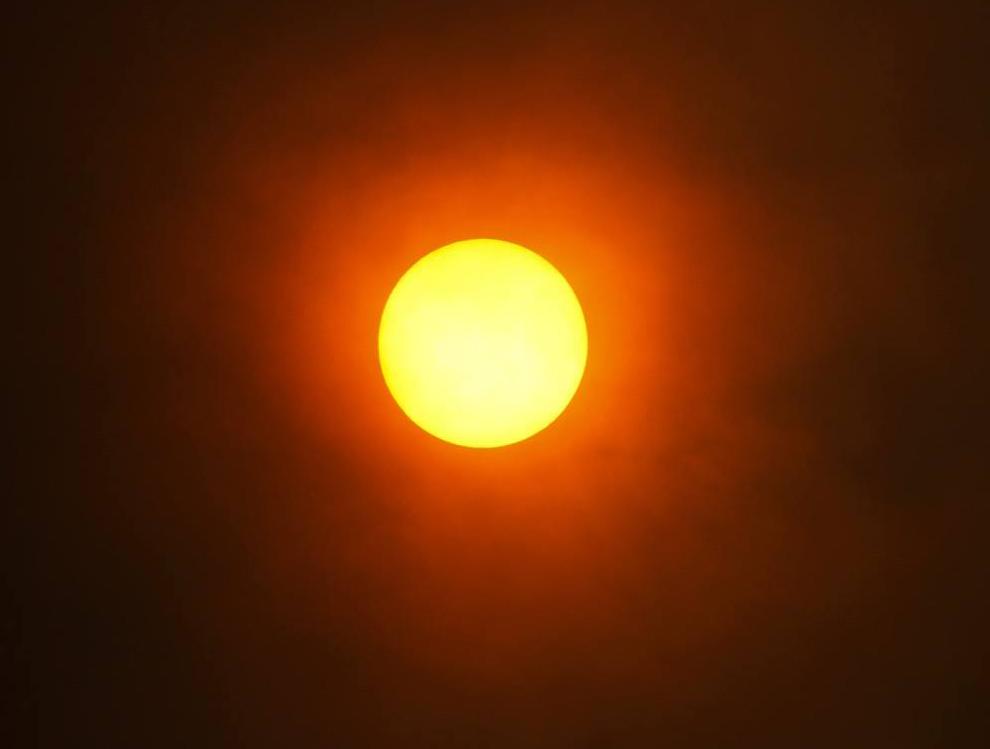
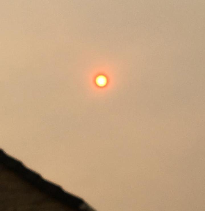
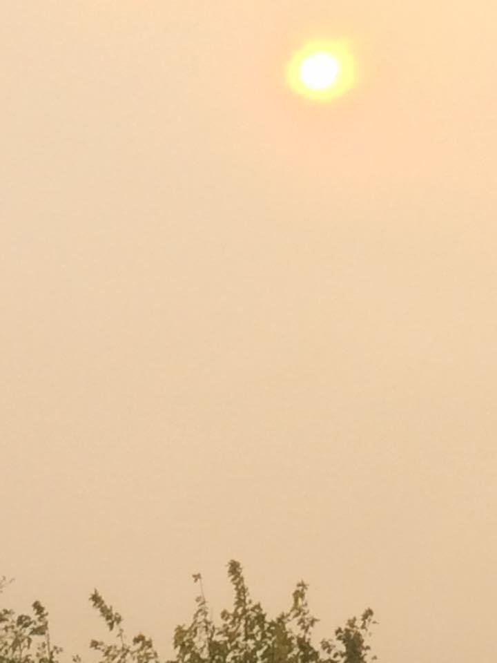
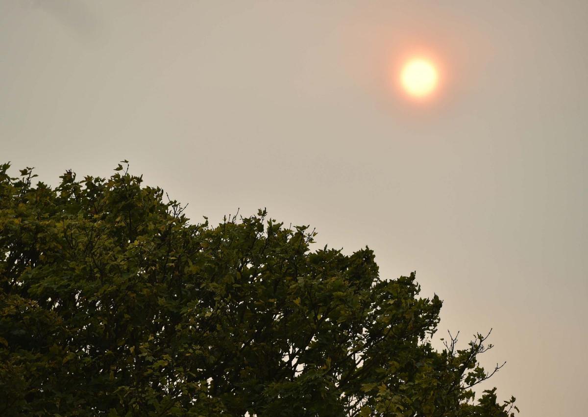
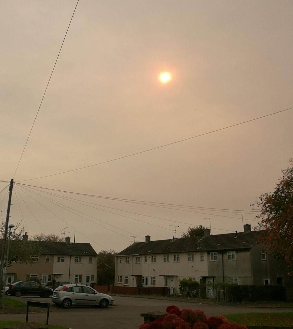
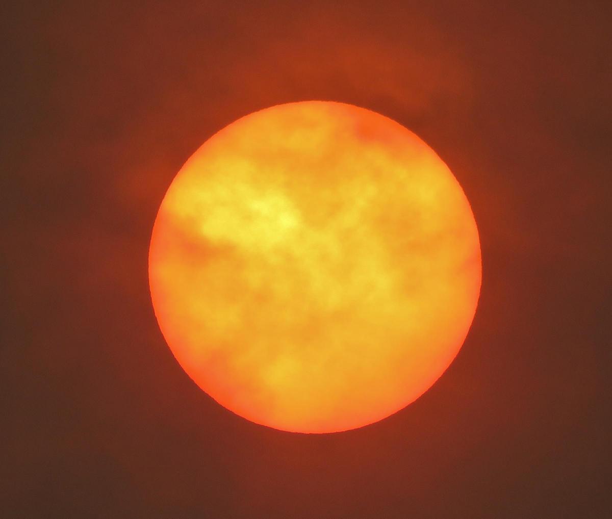
Much of the UK is being bathed in a murky red glow because of Storm Ophelia today.
Known as a 'hurricane sun', the hazy weather is understood to be the result of the tail-end of what was hurricane Ophelia heading for the UK.
It is thought that dust from Africa disturbed by Ophelia is causing the sky to have an unusual red tint today.
Meanwhile a woman has died after a tree fell on her car as hurricane-force winds from Storm Ophelia batter Ireland and the UK.

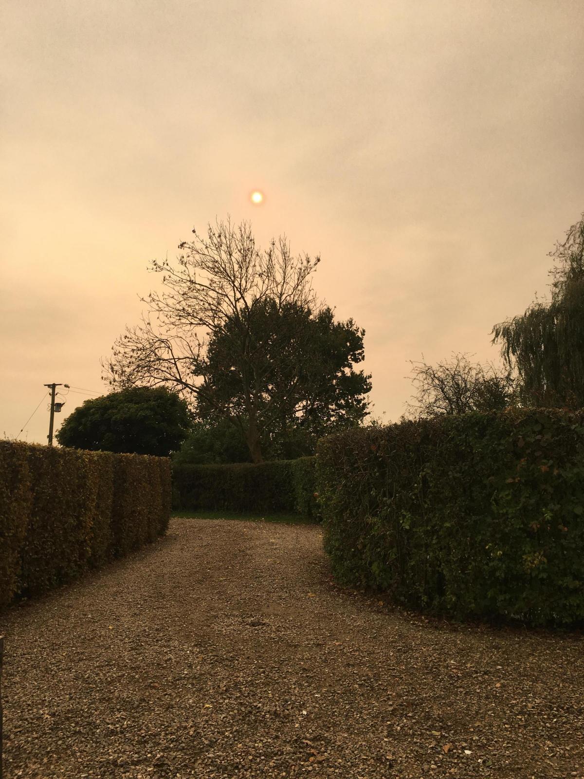
Andy Golesworthy posted this picture
The motorist, in her 70s, was driving close to the village of Aglish in Waterford, Ireland, when the tree hit her car.
Scores of homes were without power, schools closed early, trees fell onto roads and bridges were shut on the UK mainland.
Remnants of the hurricane battered Britain's west coast on Monday afternoon, with gusts of up to 80mph, exactly 30 years after the Great Storm of 1987 in which 18 people died.
Around 200 properties in Wales suffered power cuts, a number of schools closed early and the Cleddau Bridge was shut to high-sided vehicles, Pembrokeshire County Council said.
Flood warnings are also in place along the Pembrokeshire coast, parts of west Scotland, north-west England and Cornwall.
Planes have been grounded at Manchester and Dublin airports.
Schools and colleges were closed in Northern Ireland, which is covered with an amber weather warning - meaning there is a "potential risk to life and property", issued when forecasters believe people need to be prepared to change their plans and protect themselves from the impacts of severe weather.
The storm is expected to move across to Wales, northern England and Scotland throughout Monday.
High winds are expected with yellow warnings in place for much of Wales, Scotland, north east England, north west England, south west England and the West Midlands.
Parts of Scotland and Wales have also been upgraded to amber.
Forecasters are warning of flying debris, such as tiles blown from roofs, as well as large waves around coastal districts with beach material being thrown on to coastal roads, sea fronts and properties.
"The centre of Ophelia will be to the south-west of Ireland on Monday morning," Met weatherman Grahame Madge said.
"It's due to come over the west coast of Ireland around midday and as it goes through the day it will be centre over to the north of Northern Ireland.
Loving the #redsun pictures from #Swindon and #Wiltshire here: https://t.co/c8Ez6AN6g6 @swindonadver @wiltsgazette @wiltshiretimes #Ophelia pic.twitter.com/Y9KlEaulX6
— Bruno Clements (@brunonewswilts) October 16, 2017
"It will be gradually easing up into Scotland overnight and into Tuesday morning - it's weakening as it goes.
"Parts of England, areas like the North West, are covered by a warning. The impacts will be felt in northern England into Tuesday.
"Winds will be 50-60mph, possibly gusting to 70mph, even in the yellow warning areas."
In Ireland, Met Eireann has issued a "status red" weather alert for Galway, Mayo, Clare, Cork and Kerry, warning of severe winds and stormy conditions.
Met Office forecaster Luke Miall said that while storms with these wind speeds tend to happen at this time of year, the one on its way is "quite a substantial system", adding that he would describe it as "pretty exceptional".


Comments: Our rules
We want our comments to be a lively and valuable part of our community - a place where readers can debate and engage with the most important local issues. The ability to comment on our stories is a privilege, not a right, however, and that privilege may be withdrawn if it is abused or misused.
Please report any comments that break our rules.
Read the rules hereLast Updated:
Report this comment Cancel